What is GIS?
Geographic Information System (GIS) is a method of capturing, managing and analyzing geographically referenced information inside a computer system. GIS allows us to view, understand, interpret and visualize data in many ways. Data comes from satellite imagery, aerial photography, historical references, manually collected geographic information and other collaborative sources. We collect and compile the data from these resources, building up a library of geographic information which can be used for a multitude of purposes.
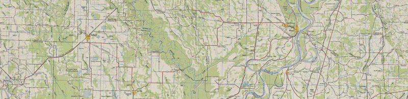
These are two examples of our mapping capabilities:
Coahoma County E-911 Map by Smith & Weiland
District 5 of Coahoma County by Smith & Weiland