GIS SERVICES
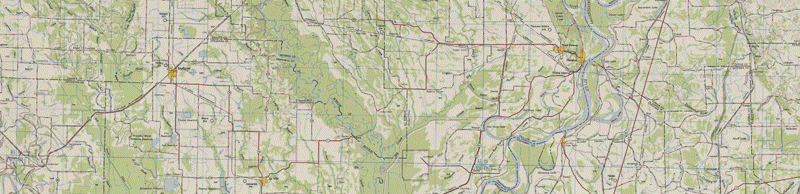
Smith & Weiland maintains a large reference library of geographic information collected from the Mississippi/Arkansas Delta region, including GPS survey data, high resolution digital aerial photos, past project references and other data from collaborative sources. With this information, we are able to prepare maps and visual exhibits for a variety of purposes. Please
contact us by email with any requests for specific GIS/mapping projects.
We are capable of creating or producing: